


Trip Pictures – Thursday January 17 2008
January 29th, 2008 . by Cary This is the merge from I-820 south to I-30 westbound.
Fort Worth in the morning:
Shortly after, I was at the end of I-30 and back on I-20:
Mile 420, I-20 westbound: Keep in mind that I-20 doesn’t go all the way to the end of Texas, after the 420 miles of I-20 I will still have quite a bit of I-10.
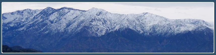
Saw a few of these:
Mile 320, I-20 westbound: Yes, I did say about seventy miles or one hour apart. You do the math.
Midland!
This helped: Can you see that top number? The one that starts with an eight and ends with a zero?
Since not everyone has a fast connection, and photos slow you down, I’ll skip ahead a few miles: This was at mile 70, I-20 westbound.
I-20 joins I-10: Jenn had mentioned, in our phone call last night, that she couldn’t imagine driving that far in one day. Wait ’til I talk to her tonight, and tell her how many miles…
Mile 140, I-10 westbound, near Van Horn:
Mile 70, I-10 westbound, near Fort Hancock:
Well, it was fun while it lasted: This was just inside El Paso County.
Oddly enough, I got better mileage in El Paso than I did anywhere else: Notice the higher bars to the right of the active mileage. This was even in the afternoon rush hour. By this time, I had set the clock for Pacific time, in order to call in to Jenn’s show on time.
New Mexico! Even though it wasn’t raining, I was now in the habit of taking the picture through the windshield. Why stop now?
And so, another day ends with the sun setting slowly in the west: Mile 106, I-10 west. About this time, I should have been talking to Jenn on her BlogTalk radio show. About this time, I didn’t have a cell phone signal. I stopped for gas in Savoy, New Mexico, and had just enough signal to let TMBWitW know where I was. Once back under way, I didn’t have a signal again until I got almost to Tucson.
I made an exception to the “stay in the car” pictures – because I was passing a big truck when I entered Arizona, and he was blocking the state line sign: This was in the first rest area inside Arizona on I-10.
I did manage to get a signal in time to tune in about a half hour late to Doug, to listen to the “Navy Stories” that were supposed to be on the air that night. Instead, since there were technical difficulties, we ended up just chatting.
I got to Phoenix about 2200, and pulled into my driveway about 2230.
Miles driven: about 1100 today. About 2340 total, including a few around Tampa and Clearwater. Money spent on gasoline, entire trip: $175.00 Not bad for this little car, and it was fairly comfortable, but I don’t know if I would take it on another long drive like this. Next time, I’m flying.
Thank you for stopping by, God bless you all, Wear Red on Fridays, and support Warriors for Innocence!
Nice pics bro, what did you use for navigation technology?
I’m assuming grease pencils, protractor, and duct tape to secure that OD green lensatic compass of yours to the dash board.
Just kidding bro, ALL these pics are nice and clear. Pretty interesting too.
If I drove 1100 miles in one day, I’d have to buy stock in the company that makes “Preparation H”! You’re a better man than I!
Gunz – navtech? National wanted to rent me a GPS at $20+ per day. I remember enough of the interstate system that I can drive it without maps. TSA says I couldn’t take the compass on board anyway; the sharp edge and square corners scared them!
Greybeard – the parts of me that hurt after that trip were my back and my hips. I must not be as young as I used to be.
Nice pics. Thanks for keeping us up to date. You are crazy for driving 100 miles in one day, and I’m sure glad you made it ok!!!
I have been called crazy before. If I hadn’t driven that far, the expenses would have added up again – another day’s car rental, another motel room, another set of meals on the road…:)